Well, best hike of the year so far nailed down.
 |
| Mt. Hood and Mt. Jefferson from Chinidere mtn |
Wahtum Lake is a major landmark in the Mark O'Hatfield wilderness. It is just under halfway between the Columbia Gorge and Mt. Hood (Closer to the gorge) on an area called Waucoma Ridge. It serves as the genesis of Eagle Creek (At least the east fork that feeds Tunnel Falls). It's also a major stop on the Pacific Crest trail, probably the final good campsite before PCT hikers reach the gorge. Because of its location, there is no easy way to access it. Either you hike in an uncomfortable distance (at least 13 miles from the Eagle Creek trailhead, and similar results for the Herman Creek trailhead), or you take a long winding mountain drive. It's only accessible from Hood River, so you have to drive all the way from Portland to Hood River, then head back southwest into the mountains. At minimum 1:30 driving time, and that's not exactly by following the speed limit.
Both these factors have kept me away from it so far, despite one particular hike being on my "Must do" radar for years: Chinidere Mtn. I just never wanted to drive or hike that far in. But, thanks to a post by the
TravelPortland instagram, Keeley found out about it and started bugging me. So we put it on our schedule and made plans.
The thing is, Chinidere Mtn is like a 4 mile hike with barely over 1,000 feet of gain if you take the
long route. That's cake for us. I didn't want to drive 4 total hours for a hike that would take us 2 hours. I want bang for my buck, damnit. I want to spend more time in nature then I do in the car. Well, as it turns out, Wahtum is a major access point for a bunch of trails, and there are other hikes in the area. Namely, one Tomlike Mountain. Tomlike summit from the trailhead is 6 miles. 6+4 is a 10 mile hike. But since both hikes are listed everywhere separately, doing both in one loop using the cutoff trails behind the lake cuts off several of those miles. So our plan was do Tomlike, then Chinidere, then go home. That should get enough nature to offset the drive.
The drive is long but beautiful. From Hood River into the mountains you get constant looks at a looming and beautiful Mt. Hood. The road to reach Wahtum is paved the entire way, not too steep, and wide enough that you won't see a car coming the other direction and panic. Basically, it's the best deep mountain road I've driven (Fuck you, Silver Star Mountain). The trailhead/campground comes up very suddenly and doesn't have a lot of parking space.
This is when the clusterfuck of Wathum Lake shows itself. The area has a ton of trails, and the signage is not very good. There were about 5 ways out of the campground and maybe two had vague signs. I quickly abandoned the plan of doing Tomlike (the harder hike) first, and decided we should do Chinidere first, since that was the big reason we came, then decide on Tomlike after we finished.
 |
| The mess of trails around Wahtum Lake |
From the Trailhead we took the "Wathum Express Trail", which was just 200 wooden steps right down the slope to the lake. We took in the wonderful lake views, then headed westward. Passed the PCT junction, then passed the Eagle Creek trail junction. The signs in this area were actually good. Then we got lost in a small campsite looking for the Chinidere cutoff shortcut, and found out that the trail actually crossed the lake, and to do so we had to carefully walk over logs on a logjam. Fun start.
The cutoff went steeply up the mountain side, featured one unlabeled junction for confusion, then reached the PCT on the north side of the lake. From here it was a quick jaunt west, then up the final 500 feet or so of Chinidere. About 2/3rds of the way up a spur trail cuts off to the left, and we took it, because WOW VIEWS.
 |
| Hood and Jefferson from Chinidere |
 |
| Mt. Hood from the summit of Chinidere |
 |
| Keeley sits on a rock looking at Mt. Hood |
The spur trail then scrambled up Chinidere to the summit. This wasn't the official ascent, and was very rocky/probably dangerous. But the views: Spectacular. Maybe the best in the area. I dare say it was even better than Silver Star mtn. Things I could see from the summit:
Mt. Hood, Mt. St. Helens, Mt. Rainier, Mt. Jefferson, Mt. Adams.
Tanner Butte, The Benson Plateau, the Eagle and Herman Creek canyons, Silver Star mountain, Table Mountain, Mt. Defiance, Larch Mountain, Indian Mountain, Green Point Mountain, Wauna Point, and a ton of shit I probably can't recognize on sight yet. Also, Tomlike Mountain, which looked uncomfortably far away.
 |
| Hood |
 |
| The Benson Plateau and Mt. St. helens in clouds |
 |
| Mt. Rainier and Mt. Adams |
 |
| Mt. Defiance |
 |
| Mt. Adams looms over Tomlike Mountain in the foreground |
 |
| The Benson is very flat |
 |
| Silver Star Mountain (Way in the middle right distance) and Wauna Point (Middle right foreground) |
 |
| Wildflowers on Chinidere |
 |
| Table Mountain looks small from here |
 |
| Tanner Butte |
 |
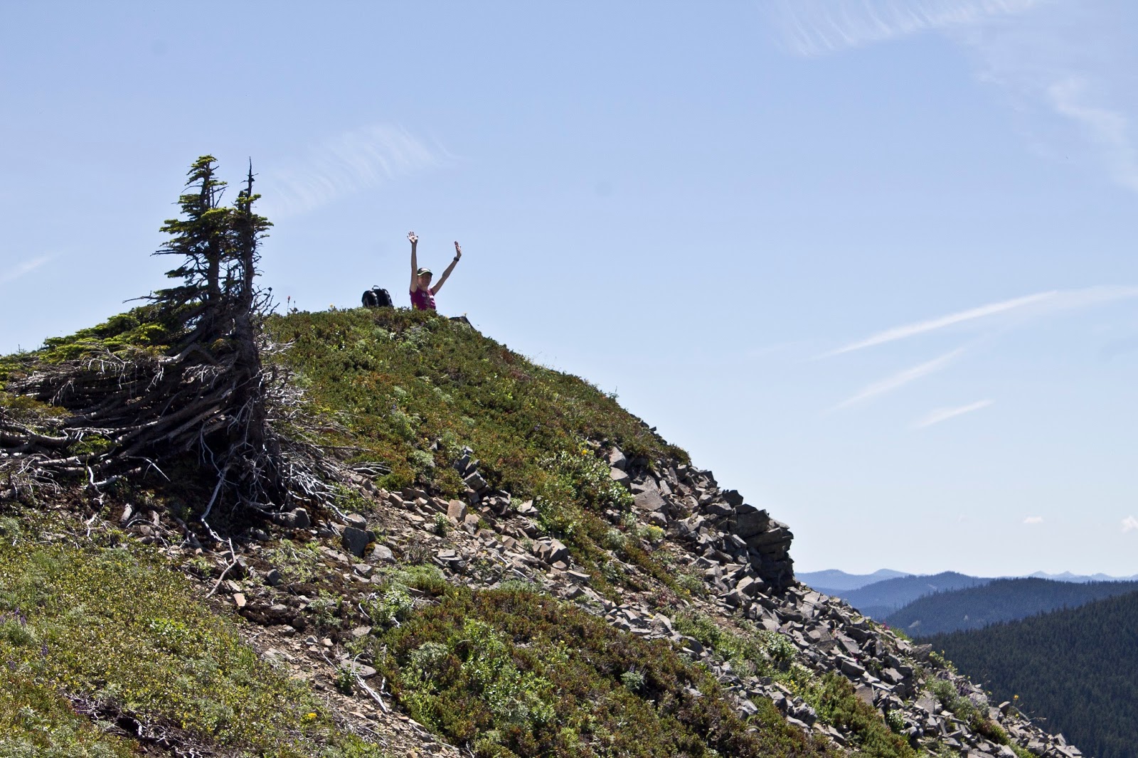
| Hoodwinked |
 |
| Pose |
 |
| One final view heading back down |
We chilled for a while, but Chinidere is popular, so the amount of people got us off the summit fairly quick. We had barely done 2 miles at this point, we felt good. I re-checked the map, and Tomlike looked and felt do-able. So we went for it. We reached the PCT/Chinidere junction, passed the Cutoff trail and stayed on the PCT heading east around the lake. Then got off the PCT and stayed left. Then a junction with the Herman Creek trail came up...sooner than I expected. I checked the map. This should be where the Tomlike trail heads north, but I saw no trail. We decided to keep going, massively confused (Spoiler alert: this was a shortcut junction to the Rainy Lake trail, and is not on google/my map)
 |
| Paintbrush |
 |
| Rocky Meadow and Tanner Butte |
 |
| Beargrass |
After a mile of wandering down the beautiful and mostly flat alpine Herman Creek trail, we hit the junction with Tomlike (for real this time). Tomlike Mountain is not a true mountain, more of a high point on Woolly Horn Ridge. It is brushy AND exposed, very rocky, and looks practically identical on ascent to Hardy Ridge. Getting up Tomlike was less of a physically demanding challenge (It's actually shorter than Chinidere by 100 feet) but it is a mild challenge of Navigation. The trail is not official, so it's in rougher shape. The "trail" bounds through boulder fields and pine brush. It's hard to find where to walk, but it's easy to stay on track, since you are on a narrow ridge crest with a big drop off to the right side the whole time, making orientating yourself easier. After you get through the saddle and start the actual ascent, you also have to navigate over a talus field, taking care on the loose rocks.
 |
| The majesty of Mud Lake |
 |
| Tomlike Mountain from the saddle |
Tomlike doesn't have as good a view from the summit as Chinidere, but I do think it has a better view of Mt. Hood, perfectly framed in the Waucoma Ridge saddle to the south. Honestly, this may have been the best part of the hike. The weird navigation to get here, the still amazing view, and the distinct lack of other people (Compared to Chinidere at least) made this a more special place.
 |
| Keeley and the Hood |
 |
| Tiny Keeley |
 |
| Facing due South |
 |
| Sassy pose |
 |
| I was pointing out an Osprey |
 |
| Heading back |
 |
| Those little Beargrass have a killer view |
 |
| Keeley on the summit |
We took another trail called the "anthill" trail directly back to the parking lot. 7 miles, not even 2,000 feet of gain, and 4:30 hours of glorious nature. Worth it. Best hike of the year thus far. We may have to return here so we can hike Indian Mountain.
 |
| Chinidere's unassuming lump with Tanner Butte behind it |
 |
| Wahtum lake and Chinidere |
 |
| The best "view" of Wahtum lake you get, from the Anthill trail |
 |
| One final wow from the Anthill trail |
 |
| Starting at the little notch on the bottom, we went clockwise. |