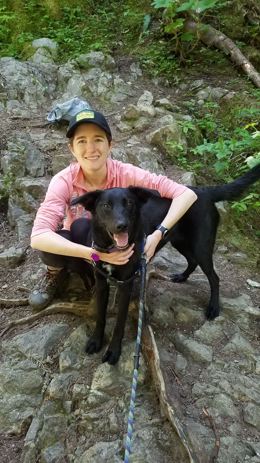
Had a Saturday to myself in the woods. Had a stressful week so I was hankering to do some damage to my legs. Had a happy dog eager to go. So I decided on a scouting mission to Ramona Falls and Bald Mountain.
THE GOAL
Bald Mountain, from the Ramona Falls trailhead. Bald Mountain is a high point on a western side ridge of Mt. Hood. It's named as such for the open hanging meadow on the south flank.
THE PLAN
Park at Ramona, but don't go to the falls. Take the PCT over the Muddy Fork instead and hike up the side of Bald Mountain. Hit the top, scout the junction area for future trips and campsites, and check out Bald Mountain, which apparently has a killer view.
THE TRIP
I actually had this exact hike planned for last year until my car had some issues and I cancelled it. Since I was flying solo today (Well, solo + dog) I figured I'd try this one out. The reason I decided to do this one without Keeley was that it isn't the usual way to reach Bald Mountain. Usually people just drive the long road up to the top spur trailhead and start there for McNeil Point. That way Bald Mtn is less than a mile.
I wanted to save that easy trek for when the wife was actually with me, because McNeil Point is still nagging at my "to-do" list. I hope to complete it this summer, preferably in the next month if I can. Now that I've at least visited the area, I can be better prepared. So I decided to head up Bald Mtn from Ramona on the PCT, which is probably the least trafficked way up to Baldy.
The first mile through the Sandy River Valley is still neat and flat. Crossing the river wasn't tough, and the dog did better than expected at walking on a log over the water. Shortly after the Sandy crossing, I took the PCT cutoff to the left and abandoned most of the crowds heading to the falls. The falls wasn't on my menu today. After taking the left at the next junction with the backside of the Ramona trail, I was officially in new territory.
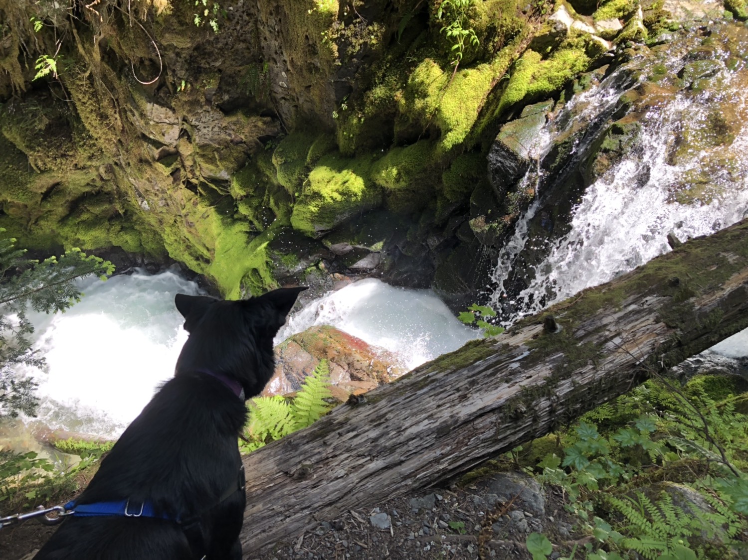
The trail immediately crosses the Muddy Fork after the junction. Luckily there is a big log making it an easy pass. This gateway to the north side of the fork is when things decide to change.
 |
| The Muddy Fork |
The other side of the river is draped in foliage and undergrowth, something almost non-existent on the Ramona trail. The trail also finally begins to climb. Until this point the elevation gain felt almost invisible. Now the climbing started. For the next 2 miles the story was all about the up. It wasn't backbreaking, and I only needed a 30 second pause once, but it just kept climbing up about 5 long switchbacks. It was a hot day, and I started feeling it. Once you crest the ridge, you feel like you've finally made it and it won't be long before you hit the mountain.
That feeling is false hope. The trail keeps going (though at a much more reasonable climbing rate) for about another mile through undergrowth and big rhododendrons. It went on long enough that the second guesses on whether I took the right trail began to cross my mind, but then I stumbled on Confusion Junction.
Confusion Junction is where 2 trails meet, but do not actually cross. The PCT keeps left. The Timberline cuts right. The Timberline also cuts up the middle. What is happening here is that the Timberline Trail is essentially making a switchback, coming up from the valley and then turning upridge to McNeil Point. At the point of the switchback, the PCT (Which I was coming from) joins makes a hard left. A short distance down the PCT heading north is the junction with the Top Spur trail, making things just a bit worse. It's...stupid. I like maps so I was fine, but there were a lot of newbies at the spot clearly confused.
 |
| Confusion Junction. I came up the blue path, took the red path, came back the black path to back down the blue path |
 |
| You round a corner and BOOM |
 |
| Felt bad for anyone who climbed the summit, the literal only part in clouds all day |
 |
| The "glare" is a smudge on the lens I didn't notice all day. Guess I'll have to come back for more photos. |


 |
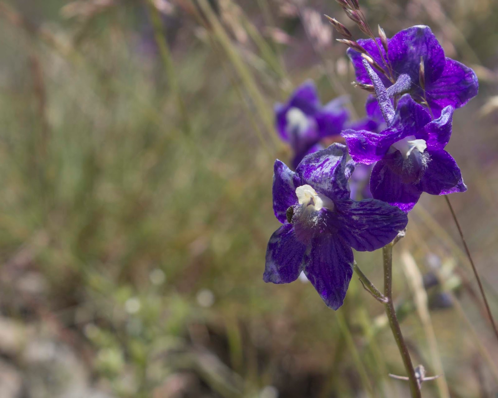
| When you try and take a photo of a flower but the dog steps into frame |


 |
| The Muddy Fork Valley, with Yocum Ridge front and center |
 |
| me too, buddy |


Basically you get a spectacular view of the west face. The view is stupendous. Best view of the mountain I've gotten so far. Made the climb easily worth it. Even the dog seemed to enjoy it, as she got more affectionate than usual once I sat down for a break.
The trail perilously hugs the open face of Bald Mtn for a brief stretch, then cuts back into the woods. I could have, at this point, gone straight, down into the Muddy Fork valley, cross it again and arrive back at Ramona Falls for 13 miles, but I wasn't feeling up to that. I took the Bald Mtn Cutoff trail back to the Timberline and looped back to confusion junction.
At Confusion Junction there was a confused man, trying to figure out how to get back to Ramona Falls Trailhead (he had come from the other direction for the 13 mile loop just mentioned). I let him know that was the way I was headed. He joined up with me and we chatted off and on all the way back to the cars. It made the way home far more pleasant. He was from California, taking a big Oregon road trip, seeing the sights.
When we hit the TH we shook hands and parted ways. I'll likely never see him again. Ryan, wherever you are, thanks for keeping me company for those last 3 miles.
THE RESULTS
10.17 miles total, roughly 2000 feet elevation gain. That seems easy, but most of it comes in the two mile stretch after crossing the Muddy Fork.
Bald Mountain is absolutely worth seeing. I can't say I recommend this particular hike, simply because there is a far easier way to get to Bald Mtn if you are willing to make the drive. The trail between Ramona and the junction isn't that interesting overall, either. At 10 miles, it's a steep price to pay for being in an area with better options. I have no regrets though, and as always I get to cross off a good new section of my map.
 |
| My path for the day |
 |
| You can see the trail on Bald Mountain on Google Earth! |