Last time we went to Warrior Point it was a crappy cloudy day that got legitimately scary when a wind storm rolled in on the way back and started knocking trees over next to the trail. We had to run most of the way back because branches were falling down. We didn't have much chance to enjoy it.
Yet for the next few years I kept forgetting about this place when thinking of a hike to go back to.
Well I finally remembered it. We needed something easy and close but I didn't want to go back into Forest Park. Well Warrior Point is about 20-30 minutes from our new home and the day was nice so off we went!
Warrior Point is the far northern tip of Sauvie Island. It has a lighthouse. The trailhead is at the very end of Reeder rd, past where the pavement ends, past the "clothing optional" beach. You need a 7 dollar parking permit to park at any of the recreational spots. I wouldn't chance parking without it, this is the kind of place probably eager to get whatever money they can from tourists so they'll tow you.
The trail is exceptionally flat. You won't gain or lose more than 10 feet on any "hill". The only challenge is distance, but with a trail this flat 8 miles is easy. It won't even be 8 miles, it'll be closer to 7 unless you explore a bit like we did.
The trail follows an old dirt roadbed along the beach for 3 miles. Occasional detours offer themselves off to the side, but they likely just go to little ponds or beaches. There are several beach access points where you can wander down and stick a toe in the water and admire the Columbia. If you get lucky, you might see a big tanker float by. We saw 2.
It's not terribly remarkable till you hit the lighthouse. The lone, closed, short little lighthouse sits on Warrior Rock, an outcropping of basalt thrust off the side of the soft beach. It has a nice little cove of water next to it and offers a decent view across the river. This is redneck camping territory at its finest.
 |
| Little frog we found on a tree |
 |
| Little cove next to Warrior Rock |
We trudged up the beach a ways trying to reach the actual Warrior Point tip, but some downed trees prevented progress. We did find a thing on a small bluff, an old foundation of some sort. Neat.
 |
| Standing on the weird foundation |
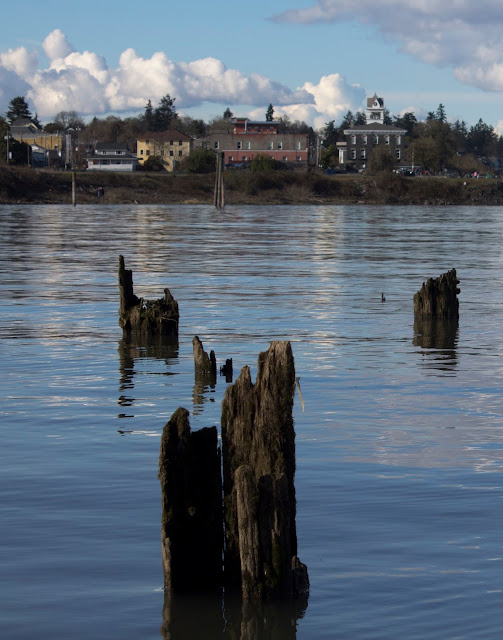
We walked back to the trail then cut up the other access road through the big meadow. This road is much less trafficked. At the end, through some neat woods, is Warrior Point itself. You can see the town of St. Helens across the river. You can see the top 4th of the actual Mt. St. Helens peeking out over the eastern ridge.
 |
| Columbia Tugboat |
 |
| St. Helens (The Town) |
 |
| A mountain and Mt. St. Helens |
 |
| St Helens |
 |
| Other St. Helens |
 |
| Mtn |
 |
| Cool clouds |
8.35 miles
3 hours
410 feet of elevation gain


This film right here is the whole reason I watch movies, wading through tons of everything from decent, to mediocre, to downright crap, just for the chance to come across a film like this, which makes it all worth it. This is a film which obliterates any flaws it might have in a blinding admiration for what it does have: an engrossing story which challenges you on several levels; and acting from the 3 principals that I might have seen equaled (and that's a big "might"), but never bettered. A truly superb production.
ReplyDeleteyidio movies
popcornflix