The 7 Wonders of Oregon, as invented by the Travel Oregon tourism publicity team, are as follows:
The Columbia Gorge
The Oregon Coast
Smith Rock
Mt. Hood
Crater Lake
The Painted Hills
& The Wallowa mtns.
until this past weekend, we'd managed to see the first 6. I think Smith Rock is a cool place but has no business on this list. It should be the Newberry Volcano area or Steens Mountain, way tucked down there in the southeastern corner of the state which has like 5 people in it. But I digress. Each year me and Keeley go on a sort of anniversary trip in the first week of August. Since moving to Oregon we've done Crater Lake, The Painted Hills & John Day, & The Oregon Coast. All have been incredible. We had one left, the Wallowa mountains & Hells Canyon. Well, we decided this would be the year for that. So what are the Wallowas? What is Hell's canyon?
The Wallowas are a strange mountain range that are just east of the Blue Mountains (A large north-south range through eastern Oregon) and might be part of it. They form a sort of giant oval spurt significantly higher than the surrounding area, in fact most of the area is valley farmland around it, except maybe to the east. They are called the Alps of Oregon. Little Switzerland is also a nickname I've read. Geographically, they are very isolated and driving by on I-84 to the south west they just look like another range of mountains. From the north is where you truly see them. As for Hells Canyon, the Snake River forms most of the northeastern boundary between Oregon and Idaho, and since the area is mountains the river punched a very deep canyon to do so. Hells Canyon is the deepest river gorge in North America, at 7,993 feet deep at it's deepest point, 2 thousand feet deeper than the Grand Canyon's deepest point. Here is a map of oregon, you can see the two locations:

The plan for Day 1 was this: drive out thursday, see Joseph and Wallowa Lake, ride the tramway to the top of Mt. Howard, and then go to our bed & breakfast in Imnaha for the night.
Our trip really started on Wednesday. We picked up our equipment from REI (rented two backpacks, sleeping bags, sleeping pads and we purchased a tent/food/tools). I put the tent together in my living room to make sure I knew what I was doing.
 |
| Success! |
Despite my constant outdoor adventures hiking, I haven't been in a tent since I was a child. I've never backpacked. This was more or less all new to me. So I was excited but more than a little nervous. We went to bed early and woke up at 4:45. We were packed and on the road by 5:45. I was excited to watch the sunrise over the Columbia Gorge as we drove east. We stopped in Hood River for some bagels, and made great time. Snapped a few photos on the way past The Dalles, which is an area I've only been to twice, and both times I was driving from the other direction.
Once past the Dalles you follow the Gorge for a while and we saw a lot of evidence of wildfires. Entire hills were charred black, mostly in Washington. Once the road lifts out of the gorge and onto the Columbia plateau things get kinda dull for a while. Tumbleweeds, dust, windmills and farms. We got through Pendleton and began our dangerous ascent into the Blue Mountains. We stopped at a small pullout overlooking northwest and admired some amusing graffiti. All pictures in this blog are mine unless tagged with a K beforehand, indicating Keeley took it.
 |
| Eastern Columbia Gorge |
 |
| Sunrise east of The Dalles |
 |
| A smartass |
 |
| An excellent retort |
 |
| Pendleton and the Columbia Plateau |
 |
| The Columbia Plateau is a lot of flat farmland, caused by ancient lava flows filling the place out |
Once through the Blue Mountains we stopped for gas in La Grande, which was a surprisingly cute little mountain town in a valley between the Wallowas and the Blue Mountains. Here we got off 84 and began taking the Hells Canyon Scenic Byway (route 82) north. There was a wildfire next to the town of Elgin 20 miles north of La Grande. We saw a Helicopter dip a box into a river, then head off with a big container of water to dump in the fire. Sorta thing you see on the news all the time, The helicopter looked so small compared to the smoke plume.
Once 82 turns east again you descend into a canyon, then emerge with your first real view of the Wallowas. They rise like giants next to the flat-ish plains to the north. The only thing I can compare it to is the Grand Tetons, who rise in similar dramatic fashion from flat plains. I think the Wallowas might not be quite as tall, but they are easily as grand. Their presence cannot be understated. They are just always there, so close on the horizon.
We stopped in Enterprise, Oregon, the biggest town in this area (2000 people) and had lunch at Terminal Gravity brewing, which would be a theme in the coming days. Soon after lunch we hit Joseph (named for Chief Joseph of the Nez Perce), which looked very toursity in a quaint small mountain town way. Lots of bronze sculptures, cute artsy shops, We stopped and got chocolate. I went to the ranger station and asked some questions, & grabbed some maps. Then we drove past Wallowa Lake.
 |
| The Wallowas from Terminal Gravity Brewing |
 |
| Lazy housecat at the brewery |
 |
| The Wallowas |
 |
| (K) Terminal Gravity |
 |
| (K) Stupid Cat |
The Wallowa Lake drive is fantastic. Just south of Joseph, the lake is a huge 5 mile long wonder with gigantic mountains on the one end. Chief Joseph Mountain covers the west, Mt. Howard the east, and right in the center, looking straight out of a Lord of the Rings film framed between the two is Bonneville Mountain. We parked just south of the lake at the Mt. Howard Tramway. 30 bucks each and we get to ride a 4 person (being generous) gondola up 4,000 feet to the summit of Mt. Howard. At the top is a little restaurant and about a gentle mile loop trail to 3 viewpoints.
Viewpoint 1 is the Royal Purple overlook, looking west & south. Best view of the 3. Just beyond that is the Summit, looking east and south. Then a ways down the path is the Valley overlook, looking north over the lake and the expansive plains. We wanted a touch more adventure, so we took a small spur trail highlighted in my travel book that headed south, up towards East peak. we didn't go all the way up East peak because the final tram leaves at 5:45, but we got to a nice isolated saddle between East peak and Mt. Howard looking towards Hells Canyon and Idaho way in the east.
 |
| On the saddle of East Peak |
 |
| East Peak |
 |
| Mt Howard from East Peak Saddle |
 |
| Looking East, Imnaha and Hells canyon faintly visible in haze |
 |
| Bird |
 |
| Blue Bushes on Mt. Howard |
 |
| Cool ridgeline east of East peak |
 |
| Valley Overlook, Wallowa Lake |
 |
| Wallowa Lake & the town of Joseph. Tiny boats in the lake. |
 |
| Wind sock and Chief Joseph Mouuntain from the Valley Overlook |
 |
| The Seven Devils, Hells Canyon, and the Imnaha river canyon (from back to front) |
 |
| Royal Purple Overlook into the Wallowas |
 |
| Front to back: East Peak Saddle, East Peak, Aneroid Mtn. |
 |
| Keeley at the Summit of Mt. Howard, crest of Hurwal Divide in the background |
 |
| Mt. Howard Summit, looking west |
 |
| Looking south east, Eagle Cap is the tiny peak just visible over the front ridge of Bonneville Mtn. |
 |
| Pano from Mt. Howard |
 |
| Chief Joseph Mtn |
 |
| Deep into the Wallowas |
 |
| Majestic |
 |
| Squirrel |
 |
| Whats up |
 |
| Craig Mountain |
 |
| The West Fork Wallowa River Valley |
 |
| Bonneville Mtn over Wallowa Lake |
 |
| Bonneville Mtn & the Lake |
 |
| Wallowa Lake & The Wallowas |
 |
| Bonneville Mtn |
 |
| Tramway |
 |
| Sweet ridge, doesn't appear to be named |
 |
| Chief Joseph |
 |
| Purple flowers |
 |
| Creepy outhouse |
 |
| Walking back to Mt. Howard |
 |
| Heading back down |
 |
| Wallowa Lake |
 |
| (K) Tramway facts |
 |
| (K) - Me and the Wallowas |
 |
| (K) Wind sock |
 |
| (K) The flat farmlands to the north |
 |
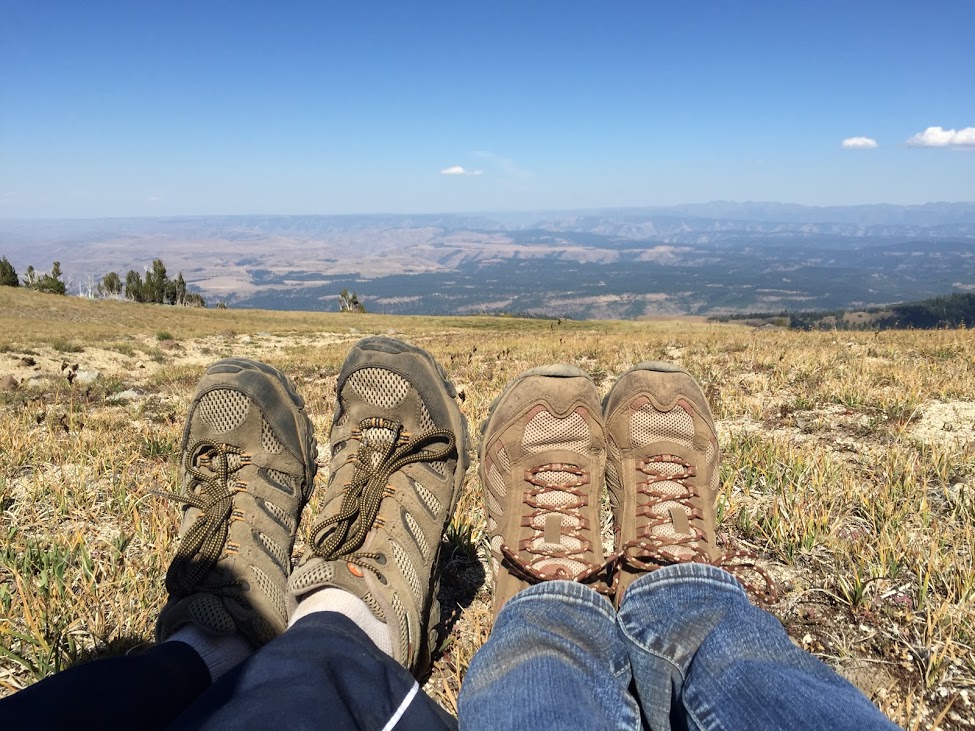
| (K) Feet |
 |
| (K) Heading back |
We headed back down the tram, stuck our toes in Wallowa lake, got dinner in Joseph and headed northeast to Imnaha. Imnaha is a tiny town in a giant river canyon next to Hells Canyon. It's not quite as deep, but almost as impressive, and we were driving it at sunset. Imnaha is a street at best, and we had to continue north on a thankfully paved single lane road further down the canyon to the very end of the road, at the Imnaha River Inn. The Inn is operated by an older couple who built the entire wood mansion by themselves, and is probably the coziest place we've stayed in. We talked with the owners into the night about all sorts of things, but not too late. We had a busy day tomorrow, and the trip had already proven worthwhile.
 |
| Game Room at the Imnaha River Inn |
 |
| Imnaha River Inn |
 |
| Imnaha River Canyon |
 |
| Imnaha Canyon |
 |
| Beautiful Place, highly recommended |
 |
| GOOD TO KNOW |
 |
| Imnaha Canyon |
 |
| Imnaha Canyon sunset |
 |
| Wallowa Lake |
 |
| resting tired feet |
 |
Bonneville Mtn. from the Lake
|


No comments:
Post a Comment