Before I get started, just wanted to share a few pictures from my recent hike to Triple falls with Keeley and a bunch of work friends. The office organized a hike, a good crew came out, and fun was had. Nothing fancy, just a classic trip to Triple Falls on a misty rainy day.
Now for the real shit.
THE GOAL
Horsetail Ridge and exploring Bell Creek
THE PLAN
Swing up around ponytail falls, attempt to find a way up horsetail ridge. Once on Horsetail ridge, climb till I meet the Horsetail creek trail, then take nearby Bell Creek trail back to Franklin ridge, back to home.
THE TRIP
Things didn't go as planned, but I still accomplished a different goal I've wanted to do!
Bell creek trail is a wooded, distant trail that is difficult to reach. It's about 4 miles in and up a big hill just to find either start point. Doing the lolipop loop would be 17 miles from a gorge trailhead. Doing Bell creek from Larch Mtn would still be long, and uphill at the end, no thanks. My goal was to take the shortcut known as Horsetail Ridge. If I could somehow crest the ridge and follow it to the top, I would shave off at least 2 miles and get dropped off right at the start of BC.
So...that didn't happen. Looks like Bell Creek will wait for another day.
Things got off to an immediate rough start. Very similar to Rock of Ages, the horsetail ridge "trail", is shoots up off the main trail right next to ponytail falls, on the west bank instead of the east. It's also immediately harder and scarier than RoA (This statement will become ironic later in our story). I was grabbing roots and basically scrambling and very delicately choosing my footing as cliffs and drops were everywhere. I powered up, facing my fears, knowing that once I gained the ridge it would be easier. I never gained the ridge. About probably halfway up, there was a highly vertical climb with no roots or rocks to help, and a slip would mean a bad tumble. Even if I got up, another problem might wait for me, and I'd have to come back down. So I turned around.
I thought about attempting a west side climb. Maps have that side as a more reasonable grade. There is no trail though, so I'd be scrambling through bushes. I was weighing my options when an opportunity presented itself: The Russ Jolley trail.
The Russ Jolley trail starts at the same spot as the ridge trail. After the first bad climbing part, the ridge trail ducks up to the north and the Russ Jolley ducks south up a lesser incline. The Russ Jolley trail is a user-made trail (not on any map) into the horsetail creek watershed area that goes upstream to a shelter and then eventually crosses the creek, climbs up a ridge and meets the Rock of Ages ridge trail.
So Russ Jolley became my new goal. The Jolly is a much more manageable trail, but is very much not maintained or well trafficked. It is an overgrown jungle (literally, think jungle) of a trail, and it switches between uphill and flat plateau sections. It's distinctly dull. Occasionally you see horstail creek. Then, all of a sudden, you cross it. On a handmade bridge that was super cool.

Then it goes uphill again, crosses another creek branch, and begins the dreadful ascent to RoA. I never found the shelter. I was pretty bummed about that.
The final mile is steep and bad and rejoins the RoA about halfway up the back half of that trail, aka when it is steep and bad. Basically it took me to the bad part of the RoA trail, just skipped the cool stuff.
The final mile once you crest the ridge and enter the Yeon plateau area sucks. It's boring and just barely uphill so you never quite recover from the climb. Then it eventually hits the Horsetail creek trail and the fun begins. Last time I hit this junction, I went west, down horsetail creek. This time I headed east towards Yeon Mt. and Nesmith Point. My goal now was to connect the dots between horsetail and Nesmith. Plus, I could climb Nesmith without having to climb that godawful slog.
Finally, after so long in the woods, sections of the eastern Horsetail Creek Trail (HCT) open up and offered some views, reminding me of my efforts.
 |
| A quiet, no undergrowth part of Yeon Mountain |
 |
| Hamilton Mountain (Center frame, across river) looks incredibly tiny from here |
 |
| The sharp cliff of Nesmith Point on the right |
 |
| Nesmith Cliff |
Before I knew it I was there, walking up Nesmith point. The view is still garbage. Was even worse the second time. I ate a Cliff Bar and started back. By the way, Cliff Bars are shit. I think people only eat them because everything tastes satisfying after hard work when you need food. Boycott Cliff Bars.
 |
| Larch Mountain in clouds |
 |
| Cloud shelf over the Washington Side |
 |
| Hardy ridge and Hamilton under the cloud shelf |
 |
| Summit of Table Mountain in the clouds |
 |
| Survey Marker on top Nesmith |
 |
| Sitting on the highest rock on Nesmith, officially summited |
I headed back on the HCT and then things got interesting. I didn't want to go down all the way to Oneonta creek. It would take forever and I'd be a wreck. I decided to try RoA again, this time going downhill instead. Can't be that bad, right?
Wrong.
It's just steep descending down the initial parts, then you reach the Devil's backbone and things get bad.
 |
| Chilln on the backbone |
 |
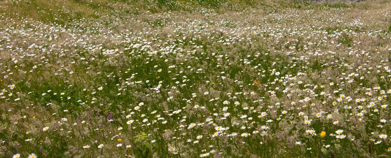
Wildflowers on the backbone

|
I have legitimately no idea how me and Keeley did this hike up the first time. Between the Devils backbone the the arch the trail is a nightmare. It was basically the exact same thing I chickened out on early in the day, but now I was committed because holy shit there is no way I'm making it back uphill. I spent most of the descent here butt-hiking, which is what I call going down on all fours and my butt and sliding or crawling carefully down back parts, using branches to control the descent. I'm too tall for some hills, if I don't butt-hike and lower my center of gravity to the trail, I very much run the risk of toppling over down the super steep downhill. butt-hiking helps me out, and gets me
very dirty. I butt hiked basically a half mile down to the Arch.
The arch is still great. I sat for a while. Some cool looking bird was mad at me for hanging out and kept hanging out nearby, squawking at me, and following me when I finally left. Google tells me it is a
Steller's Jay. Closely related to the Blue Jay, which explains why the bird was an asshole.
After that I butt hiked back down to the actual trail and then hung out in front of horsetail falls just soaking in the mist. I knew I had a good hike because I was filthy and everyone was staring at me.
 |
| Bonneville Dam |
 |
| Dick head bird |
 |
| Columnar Basalt of the gorge |
 |
| Dick bird surveys it's domain |
 |
| The Arch and the Gorge |
THE RESULTS
Fitbit lies to me now, probably around 12 miles, 4000 feet of elevation gain. Nesmith is only 3800 feet, but the extra climbing on horsetail ridge probably got me 4000.
I have no desire to do Rock of Ages again, what a nightmare.