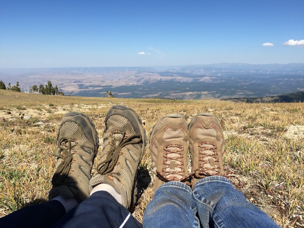
What started out as solo "Satisfy my curiosity" hike just like two weeks ago turned into something far more. A worthy adventure indeed.
So on my list of things to explore are a couple of curiosities around the Table Mtn. area. Firstly, a backside trail up Aldrich Butte called the Aldrich Cuttoff trail. I didn't know about it when I went up there the first time, so I wanted to check it out, and go up Aldrich Butte again, which I wasn't kind to in my first entry. Also in the area was a small side trail off of the Aldrich fire road that looked intriguing. I just wanted to go up the backside (west side) or Aldrich, come down the road, check out the side trail, and see anything else I wanted, maybe explore the power line roads. I did almost none of this, because greater distractions called me.
I got to the Aldrich "trailhead" at about 11 or so. The lot was full, I saw a whole ten cars, the most i'd ever seen. Since it was the first below 90 day we've had in a month, hikers were out in force, even to this little out of the way spot. This is important because on my epic quest, I saw almost nobody. In fact, I experienced some of the deepest solitude I've ever actually experienced. It was great.
I started up from the parking area. Just up the hill, right before you enter the treeline, there is another fire road/access road heading off to the left. This is the bottom of the cutoff backside trail, and my quest was up. Immediately this trail was better than the Aldrich road. It was level, peaceful, with occasional views out to the river. Less than a half mile or so in, the ridge meets a corner at a campsite. Through the trees to the west I could see over the Hamilton Creek valley up to Hamilton Mtn itself.
here the fire road ends and becomes a more natural trail, heading north along the ridge. After some semi-steep switchbacks, the trail levels out on the north west side of Aldrich and even begins to head downhill. Downhill a little ways, you come to a junction. One way heads up Aldrich to the southeast, but if you keep going north a short way down, you come to Cedar Creek. I went down to the creek to see it, intending to climb back up. The creek was low but still babbling, and I noticed a trail on the opposite side, just calling my name, heading up what would now officially be the low south edge of Cedar Mountain.
There is very little info about Cedar Mountain everywhere I've looked. The only place that mentions it is
OregonHikers.org. Even then, it really only describes a weird lower loop and doesn't go into detail about the mountain summit itself. The hike description on that page makes it seem like the trail almost doesn't exist except to Bushwackers with a map. It makes me wonder if the site author actually keeps it intentionally confusing and offputting to keep people away. I never once had difficulty locating the trail, and most of it wasn't even near as overgrown as the top of Hardy Ridge.
Here is where Cedar Mtn is - it doesn't look like much.
 |
| It looks like part of Table here, but it's very much it's own thing, carved out by a creek. |
 |
| It's a thrilling lump! You can see one of the summit meadows. |
Shortly past the creek I was on a cliff edge, and I got a view backwards and to my surprise below me gushed a waterfall. This is Cedar Creek falls, detailed in the hike description linked above. From this spot I saw two side trails. One went straight up the ridge, and I presumed that was to Cedar Mtn. One went down towards the falls, which looked dangerous. My trail kept going along the side of the ridge, downward to the west. I decided to see where it went. This area is massively confusing, there were about 3-4 offshooting trails from the path I was on, I resolved to take only the leftmost paths. Eventually I ended up in the creek valley bottom, right under the surprisingly large Cedar Creek Falls, in a moment of pure solitude and peace. I hung out for a while, not wanting to leave, mostly because I didn't want to climb back up. But I eventually did, and skipped the side trails and went to the very first junction with the trail that headed up Cedar mtn.
 |
| All of Cedar Creek Falls. Not the official name, and google turns up no results. Don't know how high it is, would guess 100 feet in total including all cascades? I'm bad at judging height. |
 |
| Upper portion of Cedar Creek Falls. |
 |
| Can you spot the waterfall in this photo? |
Cedar Mountain isn't really a mountain but a long narrow ridge of sorts between Table and Aldrich. The trail up is very obvious and in surprisingly good shape for being so un-trafficked. Not at all the bushwack the site describes it as. It's a bad case of false summits, Starvation Creek style. You go up heart pounders, then level out, then up, then level, and every time you think you've gotta be near the top you're wrong. Halfway up there is finally a viewpoint to the gorge, looking towards the McCord creek area and Nesmith Point, and over the Hamilton Creek valley.
As you get closer to the summit, the trees give way on the direct ridgeline and it becomes tall grass meadows. This is probably the most magical part of Cedar Mtn. Standing alone, slowly climbing up this exposed meadow. Here is where I felt that peaceful tranquility that only comes with being solitude, but this was more than Solitude, this was almost isolation. Cedar Mountain is surrounded by heavily trafficked trails but the mountain itself is virtually an unknown.
 |
| A tree hangs on for dear life on the Cedar Trail |
 |
| View over the Hamilton Creek Drainage. Can see Nesmith Pt (High right bump) and Munra Pount (far left peak directly on river). I don't think the middle peak has a name or if it's climbable. |
 |
| Munra point and beyond. |
 |
| Summit ridge meadows looking south. trail is obvious. |
The actual summit itself was in trees. I reached the top and started drifting downhill. I didn't want to go back down the hill, I'd climbed pretty far and the trail was steep on the way up. I knew Cedar Mountain's north side was at the base of the Table Mountain area, so thanks to my enthusiasm for reading maps I figured if I kept going north, I'd eventually cross paths with the PCT. I didn't know for sure, but I was willing to take a chance. I told myself if the downhill ever got too steep I'd turn around so I wouldn't have to climb as far back up in case I was wrong.
The trail past the summit actually is a sort of bushwhack. It was never hard to follow, but it was very overgrown. To my surprise, I didn't do a whole lot of descending. In fact, after a downhill followed by a long overgrown level section, I was climbing again, because Cedar Mtn. hates me. Several markers litter the trees on the trail. The occasional blue diamond, frequent white reflective rectangles, and the occasional pink spot. This trail is definitely used, but not by anyone who talks about it. After a while I suddenly heard people. Hey! Other people on the Cedar Trail? A July miracle! I can ask them where the trail connects. Then I turn a corner and find out they are standing at the PCT junction with the western flank of Table, the route I took last year! I was right! It did link up! Booyah, I didn't have to go back down Cedar. The group of people asked me about how to reach Table and I told them, then went on my merry way back down the PCT/Table mtn trail.
 |
| The "Bunny Ears". This is the only trail that give you a good view of them. |
 |
| Table from Cedar Mtn trail |
Eventually the PCT and Table Trail splits, and I decided I had a little more adventuring in me and took the PCT. Thanks to the Two Chiefs hike I did earlier this year, I knew I could take this little branch of the PCT to the Two Chiefs trail and come back to the same spot, with a bit extra mileage. It added about a mile to the trip. Soon I was at Carpenter lake, trying to decide if I wanted to climb Aldrich or if my feet hurt too much. I decided no, but I would investigate that little side trail on the way back.
30 yards past the Carpenter Lake mess of junctions, a large black thing ruffled the underbrush and stared at me, maybe 20 yards ahead of me. Then it shuffled up the tree, and I realized I was looking at a black bear. Then an instant after I realized it was a black bear, I realized with horror it was a
cub (Black bears are longer than 3 feet, right? It looked like a teenage sized bear). Oh shit. If mommy is around, I'm screwed. I immediately grabbed my tin water bottle, started smacking it with a stick to make noise (to make any bears aware of my presence) and started walking back up the trail. To my extreme fortune, that same group of people I'd come across on the Table Mtn trail had decided not to climb Table after all and they were coming down. Alone I was in danger, in a group of 6? I'd be fine. No bear is messing with that. I told them about it and ran point, staying with the group. keeping at attention. On the way down I passed two horseback riders and altered them of the situation. Eventually it felt safe and me and one of the group members walked ahead and chatted with me for the final 1/4 mile, making for pleasant company. Got back to the car, drove home, and stood amazed at the number of seeds that had decided to cling to me.
Bears are a danger when hiking out here, just part of the experience. Most people never see them. I got lucky. They usually prowl around in the mornings or twilight hours. I never expected to run into a bear less than a mile from civilization in a well trafficked area, at 4pm in the afternoon. Just a freak chance. However maybe I will look into buying a wilderness knife and some bear mace now, can't hurt.
Overall, Cedar Mountain isn't a hike for the views. Aldrich has similar, better views for less effort. What Cedar Mtn has is solitude. Even on a super busy weekend day, during peak hours, and even though the trail is obviously trafficked, I never saw or heard a soul between the parking lot and the Table Mtn PCT junction. That's worth something in the Gorge.