
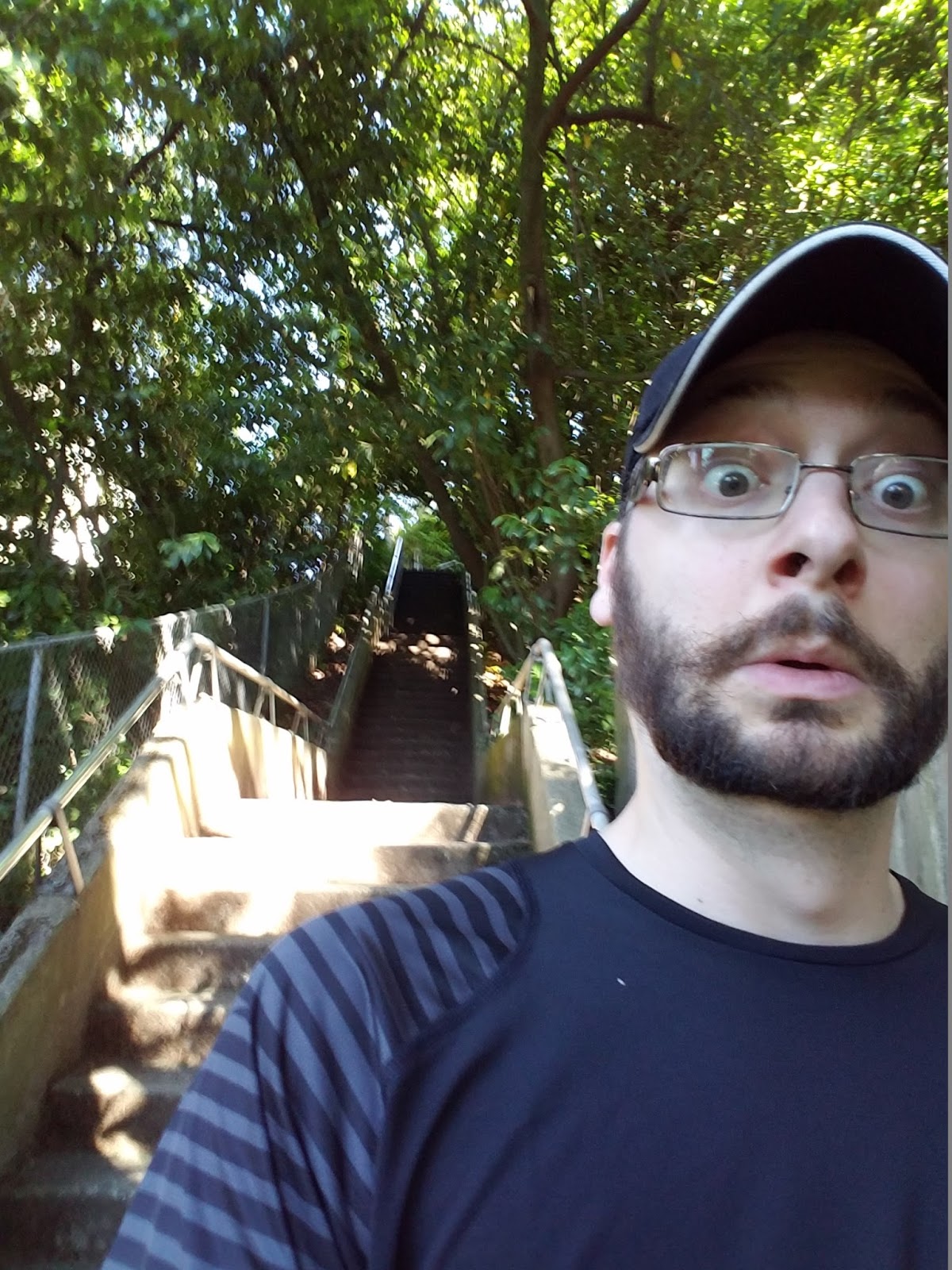
The goal was to explore the stairways behind the PSU area, some of the longest in the city, and then climb into the hills to Council Crest park (The highest point in the city), and then come back home hitting stairs on the way. It ended up going a little bit farther than that, but I"ll get to that mistake. One other important aspect to the plan: Most of these staircases would be climbed, not descended. I hate myself.
Started out walking down to 21st ave, across Burnside, to the soccer stadium. On the north side of the Stadium the sidewalk goes uphill and a Staircase offers a 17 stair option for the hearty pedestrian. Up on the hill, a couple of blocks past and an empty lot with a small parking lot sits on a block of grass. A 17 step staircase on the far side leads down from the empty lot. Cross Jefferson at the MAX station, and 82 steps climb up to a Vista Avenue access street. But we aren't going to Vista, because right to the left of the top of the 82 step stairs, is a 154 step climb to Mill Street over the Highway 26 tunnel!


back down the hill and south for a while through a park takes me to a short corner at 13th, with a metal staircase up to College Ave.

Take college ave back down and then we reach what I call the Tower Stairs. A backbreaking and steep 177 step climb next to a house that has what looks like a lighthouse tower next to the steps. It offers a great view of the nearby PSU campus. From the top of that, I walked immediately back down Cardinell way to a wooden 57 step drop back down to Clifton. From here some zig and zag until I got to Broadway and the mighty 203 climb up the wooden "Elevator Stairs"


From there it was a lot of climbing through the streets to eventually reach Davenport, which I took to the end, because it has a small 37 step drop back to Broadway.

Then north on Broadway I went, till I got to the "tresspassing" stairs. It's 65 steps up. but the reason I call it the tresspassing stairs is that it looks basically like someone's side entrance. I didn't take a picture because it felt so sketchy there, but I did walk it. Here is a google street view angle of the thing.

Then after a jaunt west around a couple of corners, a 44 stair drop takes you back onto Broadway. I crossed Broadway onto Sherwood, and halfway up Sherwood a small access path to Arden road (A parallel road to the west features 9 Steps up. Then I walk back to broadway, and take a 17 step climb to Ravensview, but this staircase basically just bypasses an intersection, so I'm quickly back down on Broadway...again. But thankfully after I cross over Broadway and climb the bus stop 22 steps to Talbot, I'm done with Broadway for the day.


From Talbot I end up back down to greenway, and halfway up greenway a staircase of 36 takes me up to Summit drive. Then it's back to Talbot, back to greenway, and over the bridge at the base of the Council Crest Hill. But I'm not climbing it yet. This is where I made an impromptu audible. Two major staircases, the farthest ones I had to reach, are on the backside (south side) of Council Crest. I decided to take a loop on Fairmount around the back and hit them from the bottom first, so I could climb them up to the summit of CC instead of going to the top, climbing down the stairs, and coming back up again. I end up on fairmount, but before I reach my intersection, I see a dirt path I didn't know existed. I think it leads to a nearby side road as a park access trail. I take it. It has 20 stairs downhill.

I end up much farther south than expected. God bless phones and GPS maps, because a quick glance showed me far away from the road I actually wanted to be on. So either I go west and south a bit more and loop back up, or walk back up the trail and loop down. I decided on option 1, since I didn't know this area and wanted to see it.
After a lot of walking and climbing again, I finally reached the bottom of the farthest staircase of the day, a 68 step wooden staircase. I was tired and grumpy and several miles from home with lots to do. I just wanted to reach the top.

After that staircase and some more roads north, I took the Hillboro 46 step climb to the south base of Council Crest park. I climbed up to the top, took a nice long break, and set out on my final leg. a 25 step descent and a 25 step climb on wooden trail stairs rounded out my CC experience, and then I was back on Greenway. Greenway passes over Talbot at a bridge, and a staircase offers a path down, via 25 steps. Then immediately under the bridge there is a public 51 step drop via a secret pathway down to Montgomery.


Then I crossed Vista ave, and took a nice 59 step climb back up to a lower point on Vista. Then my final fun section of the day started. Down Vista, to a 77 step climb to Elizabeth street, looping back around to cross Vista at the ainsworth elementary school stairs (18 steps up), back up Vista to a side entrance to a garden at the school (13 steps down) and then another access stair (23 steps down).


Then you pass through the hidden garden and over a beautiful and completely hidden bridge to St. helens court. From there, back to Vista, north on Vista, taking a spooky 41 step drop to the intersection at Vista and Montgomery, and finally, to the last stairs of the day: the Staircase to Nowhere.


The Staircase to nowhere is 75 steps down to a private property gate. Maybe it served a public walkway once, but now it literally leads nowhere. So not only did I descend these 75 stairs, I then climbed back up. From there it was just a short distance downhill to home, my journey complete.
Totals!
10.3 miles total distance in just under 4 hours
1219 Steps climbed
428 Steps descended
1647 steps total
MAP!

No comments:
Post a Comment