

THE GOAL:
Burnt Lake & if we felt up to it, East ZigZag Mountain
THE PLAN:
The hike to Burnt Lake is a pretty easy track with no real other options outside an extremely short side trail to Lost Lake falls. Once at the lake, we could circumnavigate it and walk back for an easy 7 mile hike. If we felt good however, we could potentially add another 3 miles to the hike and another 800 feet of elevation by going past the lake up to East ZigZag for some sweet views. With the day looking cool and cloudy, Burnt Lake seemed like an acceptable goal.
THE TRIP:
The Burnt Lake trailhead is in the same vicinity as the Ramona Falls trailhead, just take a right instead of a left at the last junction. A few paved miles and 1 potholed gravel mile later and you reach a relatively small parking area. We got stupid lucky and found a prime space near the front where someone had just left. This is definitely a "get there before 8" kinda trailhead on summer weekends.
It was cloudy all drive until the last 5 miles, so we got double lucky and we'd actually get to see the mountain from the lake.
The hike is pretty easy and mild for a long time. The first two miles are a very gentle uphill through the woods. That's it. It is very peaceful and although you clearly gain elevation it never feels tough. After 2 miles, you hop the creek you've been following to the right, and then half a mile past that, the trail appears to split.
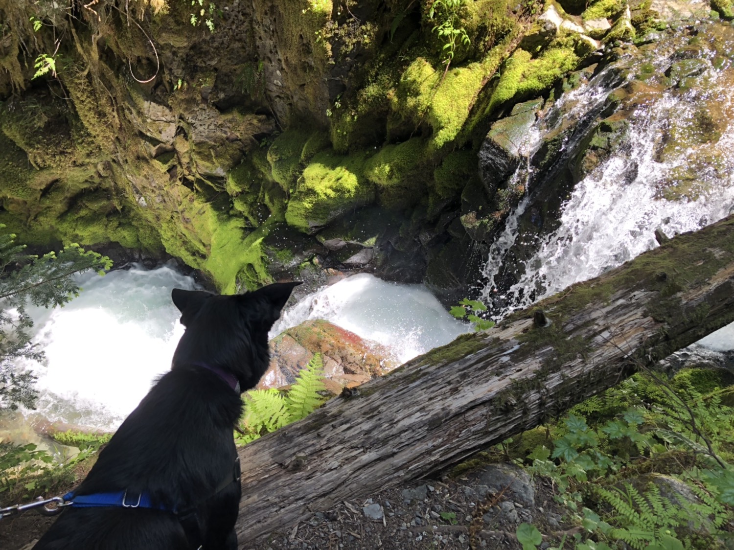
It's not a real split. The left trail quickly descends maybe 50 yards for a sort of interesting viewpoint of Lost Creek Falls, a short multi-tier cascade through a slot. You can't get a great view, but the short detour is so simple you may as well stop. It provides a great break.


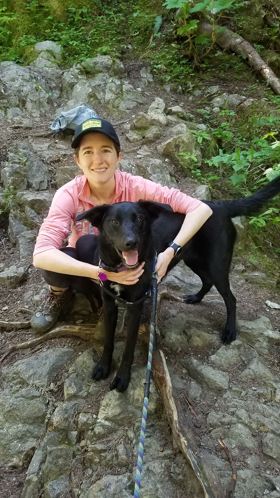


Burnt Lake isn't too big and has a number of campsites. We took in a slight view on the north shore, then went and looked at the nearby map. 3 miles in, we both felt pretty good. I convinced Keeley to follow me up the trail to the mountain a bit to see if we could get a better view.


The trail climbs at a similar grade for half a mile and then begins to hit switchbacks. Avalanche Lilies line the path here, and it made me excited because I'd never seen them before. Some Beargrass also popped up on the trail from time to time.
 |
| Taking pictures of Beargrass |
 |
| The picture I was taking of Beargrass |

 |
| My first Avalanche Lily |

 |
| Learn how to focus a camera, Dave |

The switchbacks are the steepest thing so far but still a mild grade. After maybe 5 switches and a bit of complaining, we suddenly hit the junction with the ZigZag trail. We took off to the left for maybe 30 yards for a great 4 mountain view. Hood was somewhat obstructed by trees, but we could see Adams, Rainier, and St. Helens. After the picture break we set off to the right of the junction and hit the actual steep part of the hike.
 |
| Technically 4 mountains in this photo. Hood is behind the trees, the rest are tough with the exposure but it goes from right to left: Hood - Adams - Rainier - St. Helens |


 |
| Mt Adams |
 |
| Hood and Burnt Lake below |

The actual summit and more views were about 15 minutes on the trail further, but we decided to turn around. We were 5 miles in and weren't sure how the dog would do. We also didn't think the views would get that much better, as the viewpoints would all be at the same basic angle. So we headed back down.

We took a quick detour to go around the lake on the way back for some quality final pictures and to cool off by the water. After a long, thumping descent, we made it back to the car.


 |
| East ZigZag peak |
THE RESULTS:
10ish miles, 2200ish feet elevation gain. Our garmins did not matchup and seemed a bit buggy, so the true data is a mystery.
This is probably the easiest 10 mile hike I've done. It's about the same elevation as Hamilton mtn but without much steep stuff and an extra mile to ease the climb. The trail is soft and wide. I wish the two mile intro was a bit more interesting but if you can make it to burnt lake without feeling bad, the trek up to at least the first views on Zigzag is easily doable. We didn't run out of water or even need to stop for lunch, we hiked pretty much the entire 4 hours straight with nothing longer than a 10 minute rest at the top for photos. Definitely recommended. That final gravel road is a bit of trouble though.
No comments:
Post a Comment